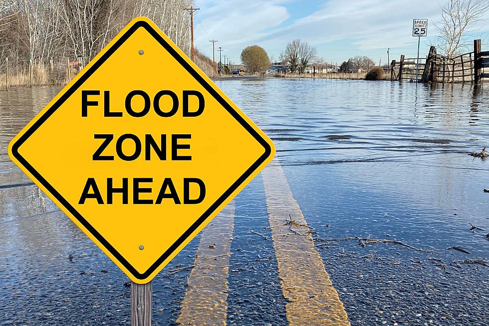
Severe Weather Risk for Western KY and Southern IN — Multiple Risk Levels in Play
If everything goes exactly according to the color-coded maps I've seen over the last 36 hours, western Kentucky and southern Indiana are in for a variety of levels of severe weather this week.
THE NATIONAL WEATHER SERVICE'S SEVERE WEATHER RISK LEVELS
A few years ago, the National Weather Service's Storm Prediction Center added two levels--Marginal and Enhanced--to its chart of severe weather risk categories. Slight, Moderate, and High were no longer specific enough.
SEVERE WEATHER THREAT FOR KENTUCKY AND INDIANA
It helps to have that in front of you this week because the tri-state area is under three risk levels for Thursday, although the activity figures to ramp up late Wednesday night, according to the NWS:
Scattered thunderstorms will move north and east across the region from mid to late evening on through the overnight. Across southeast Missouri, the southern tip of Illinois and west Kentucky, strong storms will be possible, along with a slight chance of a severe storm or two capable of marginally severe hail and locally strong wind gusts.
For Thursday, an additional higher level--an Enhanced Level Three risk--comes into play:
Scattered thunderstorms will remain possible Thursday morning mainly east of the Mississippi River. A few strong to locally severe storms cannot be ruled out, especially from southwest Indiana into the Kentucky Pennyrile region from mid morning until midday or early afternoon. Damaging wind gusts should be the primary hazard if severe storms develop.
With a Marginal risk in the far western portion of the tri-state and an Enhanced risk in the far eastern portion, we could see a wide variety of weather activity unfold. And it seems it will come in two waves on Thursday.
But hey, once it's all over, we can settle in an enjoy a high in the upper 30s on Friday. You know what they say about weather in this part of the world..."If you don't like it, wait five minutes."
The Worst Owensboro Storms I Can Remember
LOOK: The most expensive weather and climate disasters in recent decades
More From WGBF-FM