
Indiana Was Hit by a Derecho, But What Does That Mean?
After the severe storms that ripped across parts of the Midwest this week, you may have heard a weather term that doesn't come up nearly as often as "tornado" or "severe thunderstorm."
Derecho.
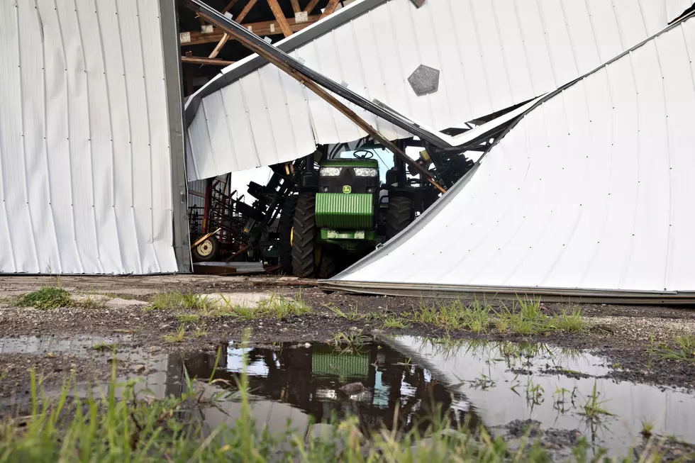
The August 11 storm system has been identified as a derecho after producing widespread destructive winds across multiple states, including Indiana, Illinois, and Kentucky.
But what exactly is a derecho, and how is it different from the severe thunderstorms we're more accustomed to seeing?

What Is a Derecho?
According to the National Weather Service, a derecho (pronounced deh-RAY-cho) is a widespread, long-lived windstorm associated with a fast-moving band of showers or thunderstorms.
Think of it less as one individual storm and more like an organized line of thunderstorms capable of producing damaging winds across an enormous distance.
To be classified as a derecho, the National Weather Service says the path of wind damage must extend for more than 240 miles, with wind gusts of at least 58 mph or greater along most of that path.
And the winds can get significantly stronger than that.
How Is a Derecho Different From a Tornado?
This is probably the easiest way to understand why derechos can be so destructive.
A tornado has violently rotating winds concentrated over a relatively narrow area. A derecho generally produces straight-line winds that push predominantly in one direction along a much broader path.
That doesn't mean derecho winds aren't powerful.
The National Weather Service notes that derechos can produce destruction comparable to the strength of tornadoes. Derechos can also occur alongside tornadoes, meaning a storm system can potentially produce both hazards.
Read More: Indiana Under a State of Emergency After August 11 Storms
How Does a Derecho Form?
The science behind these storms can get complicated, but the basic idea is much easier to understand.
Derechos begin with thunderstorms that become organized into a line.
Cool, dense air created by the storms sinks toward the ground and spreads outward. That air forces warm, humid air surrounding the storm upward, helping new thunderstorms develop.
Those new storms produce more rain-cooled air, which can further strengthen the system.
Instead of individual thunderstorms quickly forming and falling apart, the process can become somewhat self-sustaining, allowing the entire line to remain powerful while traveling hundreds of miles.
On radar, these storms frequently develop a distinctive curved appearance known as a bow echo.
Why Can Derechos Develop So Quickly?
Some derechos can be particularly difficult to forecast.
The National Weather Service says progressive derechos thrive in environments with very unstable, hot and humid air combined with relatively strong winds higher in the atmosphere.
Sometimes the atmosphere in those conditions is "capped," meaning a layer of warmer air prevents the thunderstorm from developing.
If something suddenly breaks that cap and allows storms to form, however, the atmosphere may already contain everything those storms need to intensify rapidly.
That's one reason a derecho can sometimes develop quickly and with relatively little warning.
Derechos Aren't an Everyday Occurrence
While derechos are relatively rare, our part of the country is certainly not immune to them.
One of the two primary corridors for derechos in the United States stretches from the upper Mississippi Valley southeastward into the Ohio Valley.
They're also heavily associated with warm weather. According to the National Weather Service, about 70% of derechos occur between May and August.
Read More: Authorities Warn of Scammers Targeting Residents After August 11 Storms
The August 11 Derecho Was Particularly Destructive
The derecho that swept across the region on August 11, 2026, impacted Illinois, Indiana, Ohio, Kentucky, West Virginia, and Virginia.
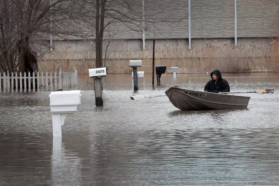
According to The Weather Channel, the system produced winds approaching or exceeding 100 mph in some areas, along with tornadoes, flash flooding, and lightning.
More than 700,000 customers lost power following the storms, including more than 300,000 in Indiana.
The storm and its aftermath also resulted in multiple deaths.
Why Derechos Can Cause So Much Damage
A derecho doesn't necessarily produce the concentrated devastation associated with a powerful tornado.
Instead, its danger comes partly from its size, speed, longevity, and widespread damaging winds.
A thunderstorm capable of knocking down trees and power lines is dangerous on its own. When an organized system continues producing those winds across hundreds of miles. entire communities and multiple states can be affected during the same event.
So while "derecho" may not be a word we hear every time severe weather rolls through the Tri-State, it's worth knowing.
And if you've seen the damage left behind by the August 11 storms, you've also seen exactly why meteorologists take these powerful systems so seriously.
LOOK: The most expensive weather and climate disasters in recent decades
Gallery Credit: KATELYN LEBOFF
KEEP READING: Get answers to 51 of the most frequently asked weather questions...
More From WGBF-FM