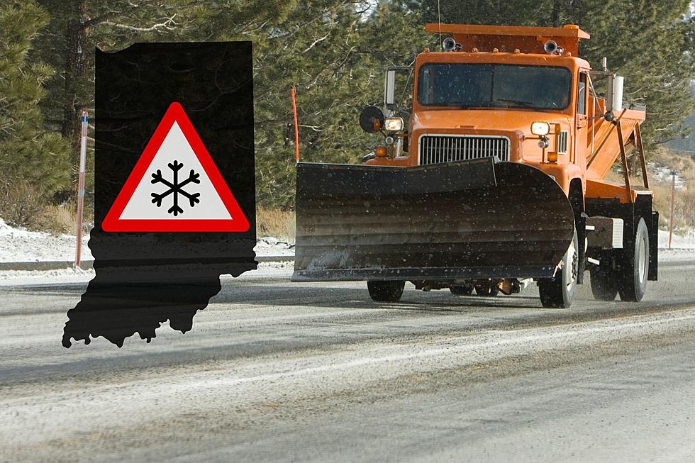
One Inch of Snow Predicted for Thursday Night
Flakes started trickling down from the sky on Thursday afternoon and it doesn't look like it's going to let up anytime soon.
Temperatures will fall into the low 30s as the day progresses, making perfect conditions for rain showers to transform into snowfall.
According to Eyewitness News, tonight will be mainly cloudy with snow showers around this evening. Low 28F. Winds NW at 10 to 15 mph. Chance of snow 50% with up to an inch of accumulation possible.
According to interactive radar, the snow should make its way into the area shortly after 7 p.m.
As always, allow yourself extra time in the earlier hours of Friday to during your commute. Temperatures will stay in the mid-to-upper 30s throughout the day, so the snow might be sticking around in most areas. The sun will return on Sunday with a high of 50 degrees.
More From WGBF-FM