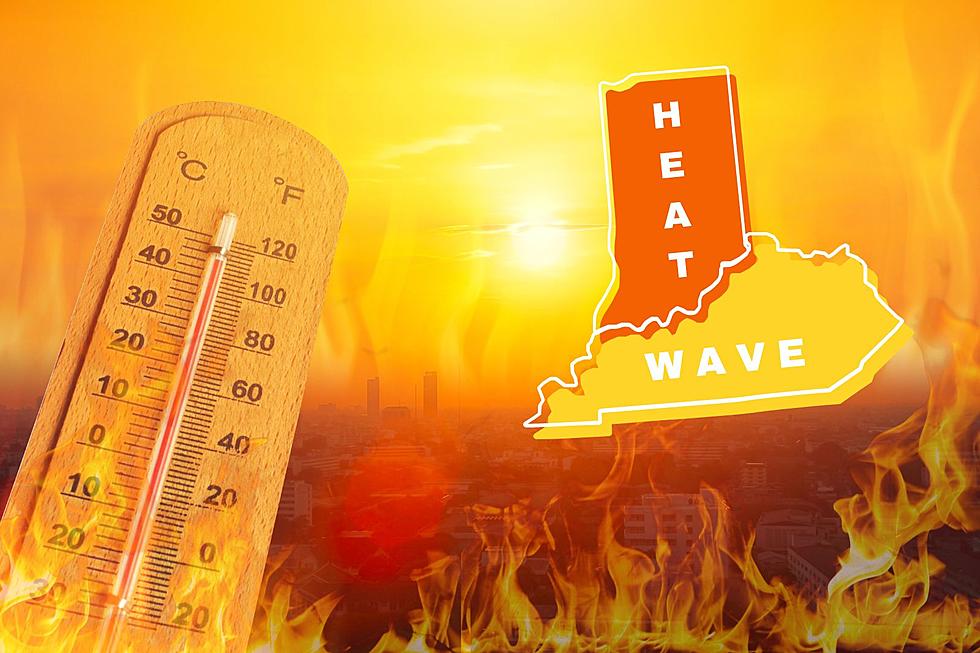
High Heat Alert: Extreme Temperatures Forecasted for Indiana and Kentucky Counties
After a period of milder conditions across the area, a significant rise in temperatures and humidity is expected to commence on Sunday and the National Weather Service is urging residents in several Indiana and Kentucky Counties to take precautions.
Heat Indexes Forecasted to Reach or Exceed 105 Degrees
This surge in heat, projected to begin Sunday, is expected to continue for multiple days, with heat index values potentially reaching 105 degrees Fahrenheit or higher during afternoons from Monday through at least Thursday. Unlike previous summer heat waves, the National Weather Service says the likelihood of showers or thunderstorms providing relief is minimal, indicating a continuous stretch of intense heat.

Staying Safe in the Heatwave
To ensure personal safety and well-being during this anticipated heatwave, residents of the affected counties should adhere to the following guidelines:
- Stay Hydrated: Drink ample water throughout the day to stay hydrated and assist in maintaining a balanced body temperature.
- Limit Outdoor Activities: Whenever possible, minimize outdoor activities during the hottest parts of the day, typically from late morning to early evening.
- Seek Shade and Air Conditioning: Spend time in air-conditioned environments, such as shopping centers, libraries, or community centers, to escape the heat.
- Appropriate Attire: Opt for lightweight, loose-fitting, and light-colored clothing to aid in cooling the body.
- Sun Protection: Apply sunscreen, wear a wide-brimmed hat, and use sunglasses to safeguard yourself from harmful UV rays.
- Monitor Vulnerable Individuals: Keep a close watch on children, elderly family members, and pets, as they are more susceptible to heat-related illnesses.
- Recognize Heat-Related Symptoms: Familiarize yourself with symptoms of heat-related illness like heavy sweating, weakness, nausea, dizziness, or confusion, and seek medical attention if necessary.

"After a period of more comfortable conditions temperatures and humidity are expected to increase sharply on Sunday. Conditions are then expected to remain stagnant for several days. Heat index values of 105 or higher are possible every afternoon from Monday through at least Thursday. Unlike previous heat waves this summer the chance of showers or thunderstorms developing to break up the heat appears very low." - National Weather Service
Planning for Safety
In preparation for the upcoming high heat conditions, take proactive steps to ensure safety for yourself and your loved ones:
- Stock Essential Supplies: Gather necessary supplies, including water, non-perishable food, and medical necessities, to sustain you through the heatwave.
- Emergency Communication Plan: Establish a communication plan with family and friends, ensuring everyone knows how to stay connected during emergencies.
- Identify Cooling Centers: Be aware of local cooling centers where you can seek relief from the extreme heat if your home lacks proper cooling facilities.
- Stay Informed: Keep track of weather updates, heat advisories, and any official alerts issued by local authorities.
Indiana and Kentucky Counties Impacted
The National Weather Service has issued a high heat alert for several counties in Indiana and Kentucky. Residents of Gibson, Pike, Posey, Spencer, Vanderburgh, and Warrick counties in Indiana, as well as Ballard, Caldwell, Calloway, Carlisle, Christian, Crittenden, Daviess, Fulton, Graves, Henderson, Hickman, Hopkins, Livingston, Lyon, Marshall, McCracken, McLean, Muhlenberg, Todd, Trigg, Union, and Webster counties in Kentucky, are advised to take precautionary measures as an extended period of dangerous heat is forecasted.
Be Prepared and Stay Informed
The high heat alert issued by the National Weather Service emphasizes the importance of proactive measures to mitigate the risks associated with extreme temperatures. By following the recommended safety precautions, staying well-informed, and preparing adequately, residents of the affected Indiana and Kentucky counties can navigate this heatwave with greater confidence and safety.
[Source: NWS]
KEEP READING: Get answers to 51 of the most frequently asked weather questions...
LOOK: The most expensive weather and climate disasters in recent decades
Gallery Credit: KATELYN LEBOFF
More From WGBF-FM


