Slay the ‘Dragon’ to View Amazing Fall Foliage from KY’s Highest Point
It seems every time an opportunity presents itself, I'm telling you about how much I love the road. No, I don't mean that I love that fact that there ARE roads. I love HITTING the road and seeing where it takes me.
Recently in these pages, you saw a story about hilly roads in southern Indiana that could double as real-life roller coasters. I love roads like that. There are a couple in Daviess County in Kentuckyautu (day-viss not day-veez) that offer huge hills that feel like log flume drops if you put your vehicle in neutral--they're Bratcher Hill Road and Windy Hollow Road.
But hills are one thing, lots of curves are another. And then you combine the two for what appears to be, by all accounts, a thrilling experience. Yes, I am more than willing to try the Dragon Slayer, even IF I don't have a motorcycle; it seems to be the transportation mode of choice for those who do.
Honestly, I've had a little preparation for something like this. There's a treacherous stretch of highway in New Mexico between Interstate 25 and Silver City where members of my family live. On a map, it looks like nothing. But that's a paper map. Use a Google map so you can zoom in and you'll see why truckers, especially, should avoid driving over the Black Range Mountains.
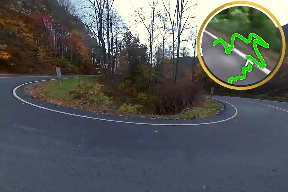
Nothing but hairpin curves for nearly the entire length of that highway. But that's just like the Dragon Slayer which, coincidentally, traverses Black MOUNTAIN, the highest point in Kentucky.
Now if you want to talk about hairpin curves, check out this fun little feature of the Dragon Slayer. It begins at the 8:34 mark.
The Dragon Slayer isn't just some fun name chosen by locals to identify a borderline treacherous (but exciting) stretch of road. It's a tourist attraction accompanied by a guide from Backroads of Appalachia. This is who they are:
Backroads of Appalachia is a 501(c)3 with a passion and empathy for the Appalachian region driving economic development, job training and opportunity to the poverty stricken areas of Appalachia through tourism and motorsports.
That might explain why the majority of enthusiasts choose motorcycles to travel this 20-mile highway that features 226(!) curves and will take motorists into Virginia.
And Backroads has done its homework in that part of eastern Kentucky in trademarking three trails--all for the purpose of promoting that region and improving the health of its economy:
We’ve trademarked three motorsports trails using pre-existing backroads throughout Appalachia traveling through Eastern Kentucky, Tennessee, Virginia, West Virginia, and Ohio. We choose beautiful Appalachian highways traveling through distressed former coal towns to promote tourism. Our headquarters is based in Lynch, KY in Harlan County— one of the poorest counties in Kentucky. As of December 2019, Harlan County had an unemployment rate triple the national average. This town that once boomed with 10,000 residents now has less than 500. Like Lynch, we find distressed towns along beautiful Appalachian backroads and infuse new tourism dollars supporting local businesses, providing jobs, relieving poverty, and improving quality of life for low-income residents.
Very impressive.
And so is this beautiful road. You know, I've never been to Black Mountain, and since it's the highest point in Kentucky--4,145 feet above sea level--it's something I need to check off a list. And going in the fall sounds like a no-brainer--especially after seeing this:
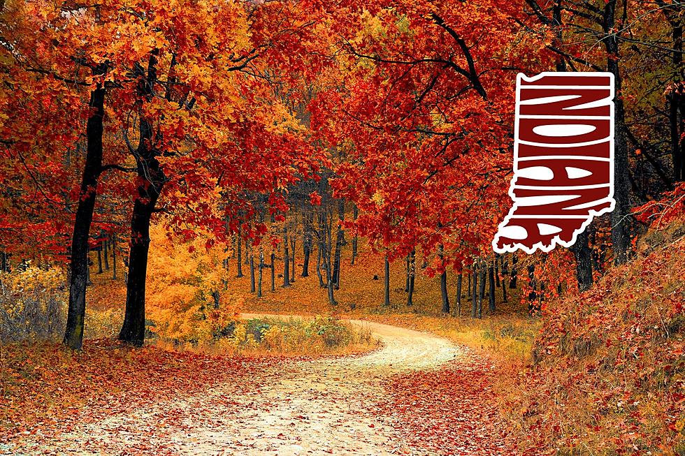
Beautiful. Now imagine that vista soaked in fall colors.
Or maybe you won't have to. Maybe I've tempted your taste buds for adventure enough and you're making plans to "ride the Dragon Slayer" as they say in Lynch, Kentucky.
If so, I hope you have a great time navigating those "kiss your butt" curves, as my family used to say.
Luxury Cabin in the Kentucky Mountains Is Perfect For A Quiet Getaway
LOOK: Here are the 25 best places to live in Kentucky
The Smallest Incorporated Kentucky Towns
More From WGBF-FM


