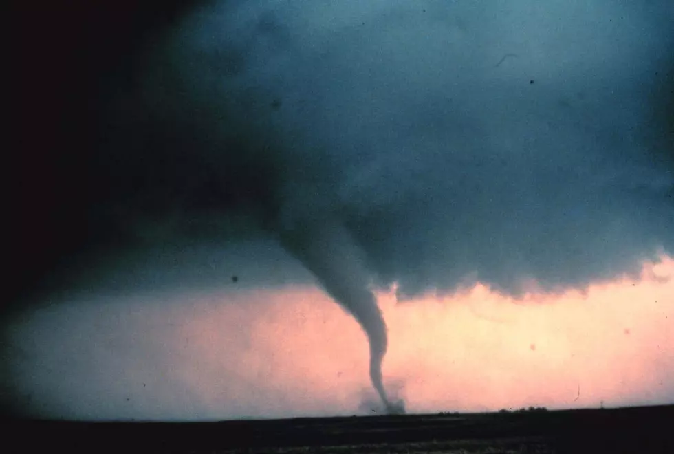
NWS Issues Enhanced Threat of Severe Weather: Possible Tornadoes on 3/19
Mother Nature thought you know what, I'm bored. Let's kick 2020 up a notch. Today, we are all dealing with social distancing due to COVID-19, yesterday there was an earthquake in Salt Lake City, UT, and now we might be dealing with some nasty weather here locally.
The National Weather Service issued this Hazardous Weather Outlook for today:
Scattered showers and thunderstorms will bring locally heavy rainfall to the area later this morning. Additional rounds of heavy rain are expected later this afternoon, and especially
tonight. A Flash Flood Watch has been issued, effective through tonight. Refer to the Watch for additional details.
Much of our area is under an enhanced outlook for severe weather. The best chance of this occurring will be from late this afternoon, through the overnight hours. Damaging winds, large hail, tornadoes, heavy rain, and lightning are all anticipated hazards with this thunderstorm event.
South winds later this afternoon and evening may gust as high as 25 to 35 mph even outside of thunderstorms. Refer to the latest river flood warnings and statements for updates on our continued river flooding.
As always, we'll be here to keep you up-to-date on the latest developments and watches and warnings. Download our app and turn on BREAKING NEWS alerts to get the latest delivered straight to your phone.

More From WGBF-FM


