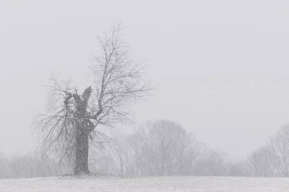
A Winter Storm Watch and a Wind Chill Watch Go Into Effect Thursday Afternoon and Evening
Mark it, this Tuesday, December 20th, 2022, the Tri-State will both be under a Winter Storm Watch and a Wind Chill Watch beginning Thursday afternoon and evening.
WHAT CAN WE EXPECT?
All kinds of models show the winter storm will mostly affect the northeast and east sections in parts of the Tri-State.
Here's what the National Weather Service is anticipating:
...WINTER STORM WATCH IN EFFECT FROM THURSDAY AFTERNOON THROUGH
LATE THURSDAY NIGHT...
...WIND CHILL WATCH IN EFFECT FROM THURSDAY EVENING THROUGH
FRIDAY MORNING...
* WHAT...For the Winter Storm Watch, heavy snow is possible with
total snow accumulations of 2-4 inches. Winds could gust as high
as 45 mph. For the Wind Chill Watch, dangerously cold wind
chills as low as -20 to -25 are possible as a result of
Thursday night low temperatures of 0 to -5 with sustained winds
of 15-25 mph.
* WHERE...Portions of Southwest Indiana, Southern Illinois,
Southeast Missouri and Western Kentucky.
* WHEN...For the Winter Storm Watch, from Thursday afternoon
through late Thursday night. For the Wind Chill Watch, from
Thursday evening through Friday morning.
* IMPACTS...Expect slippery road conditions with possible flash
freezing. Strong winds with moderate to heavy snow will sharply
reduce visibility and make for dangerous conditions. Life-
threateningly cold wind chill values can quickly result in
frostbite in as little as 30 minutes. Wear protective layers and
limit time outdoors to as little as possible. Damage to
vulnerable pipes is possible. Gusty winds may bring down tree
branches. Follow proper directions if using space heaters or
generators.
PRECAUTIONARY/PREPAREDNESS ACTIONS...
A winter storm watch means there is a potential for significant
snow accumulations that would greatly impact travel. Stay tuned
for later statements. This watch will be upgraded to a warning if
winter storm conditions become more certain.
A wind chill watch means that there is the potential for a
combination of very cold air and strong winds to create
dangerously low wind chill values. Monitor the latest forecasts
and warnings for updates on this situation.
As you have seen, the predicted snow accumulation may seem small, but combined with the zero and below zero temps expected, there are many scenarios that could play out. It all depends, as usual, on which direction the storm tracks.

Add to this, we will not feel temperatures above freezing until Monday or Tuesday of next week. Christmas will be cold for sure. Just make sure you have a plan of action ready to go ahead of Thursday afternoon when the temperature will begin to drop very quickly which means flash freeze conditions are possible.
TIPS: Here's how you can prepare for power outages
More From WGBF-FM
