More Heavy Rain and Winter Precipitation Possible for the Evansville Area Next Week
I don't know what we did to upset Mother Nature, but we're sorry.
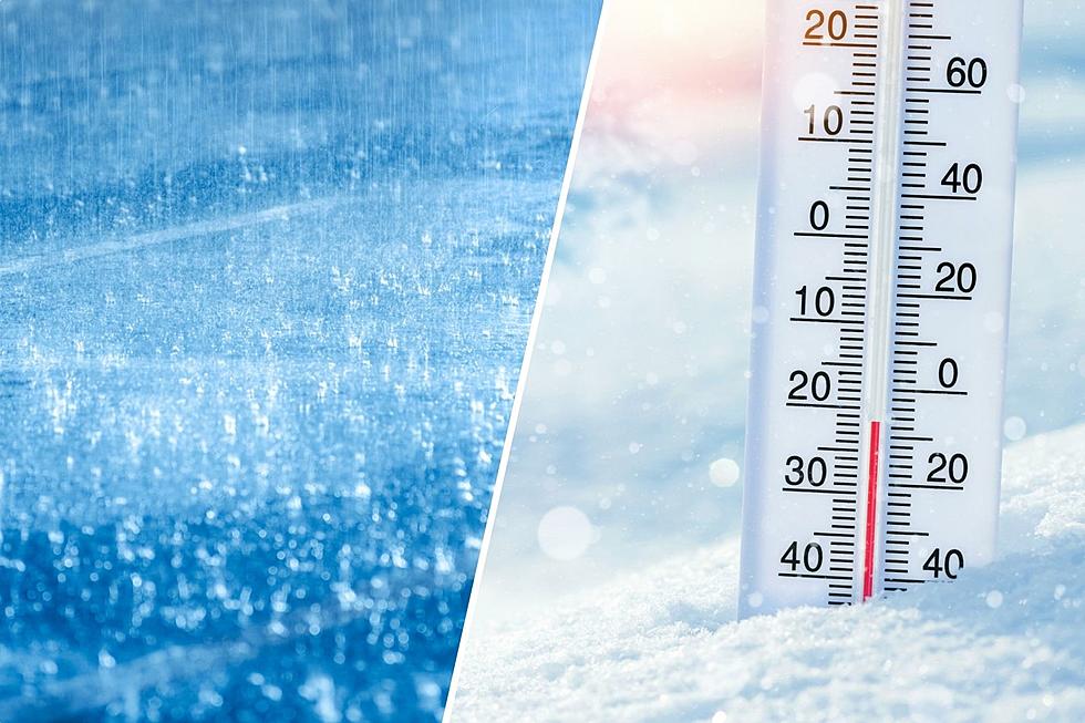
It has been a weather roller coaster the past few weeks. After the snow and ice event that covered the entire Tri-State on February 3rd and 4th, we've seen high temperatures in the mid-20s on some days to the low 60s on others followed by a drop back down into the 30s. The temperature Thursday morning, when I got to work just before 4:30 AM, was 57-degrees. 24 hours later, the temperature was 31. The over 25-degree drop was assisted by the heavy rain we dealt with all-day Thursday, and it looks like next week is going to be yet another weather teeter-totter. Just another week in the Tri-State, am I right?
According to the seven-day forecast on their website, the National Weather Service in Paducah, Kentucky says we'll see temperatures bounce back into the upper 50s and low 60s beginning Sunday, which is great, but once again it will come with a price.
The Paducah office posted the graphic below on their Facebook page Friday afternoon saying there is an "active weather pattern" is heading our way that will bring another dousing Monday night into Tuesday that could drop anywhere between another two to four inches of rain on our area, depending on where you live.
Fortunately, they made no mention of a severe weather threat, but as they mention in their Facebook post, as well as in a Hazardous Weather Outlook on their website, the additional rain could lead to a "renewed round of flooding" since the ground will not have had enough time to absorb the one to three inches we got on Thursday.
Winter isn't Over Yet
Just like we dealt with Thursday night into Friday, once the rain moves through the area Tuesday, a cold front behind it will drop temperatures back into the 40s during the day on Wednesday, and the low 30s Wednesday night into Thursday. They say there is a chance we see a round of winter precipitation possible, but it's "too early to
specify the types and amounts of precipitation."
We'll keep you posted on any changes or developments as the week goes on.
[Source: National Weather Service in Paducah on Facebook / National Weather Service]
KEEP READING: Get answers to 51 of the most frequently asked weather questions...
TIPS: Here's how you can prepare for power outages
More From WGBF-FM


