Excessive Heat Watch Issued for Tri-State Thursday Through Sunday
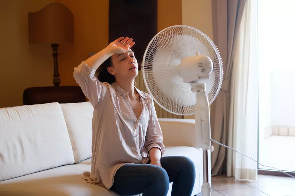
Now that we've made it through the rain and thunderstorm the remnants of Hurricane Barry brought us, Mother Nature has decided to turn up the heat to the point where it could be unbearable and even dangerous.
The National Weather Service in Paducah has issued an Excessive Heat Watch for the entire Tri-State beginning Thursday and lasting all the way through Saturday. According to the forecast, our entire area will experience "heat index values from around
105 to 110 degrees."
The full statement reads as follows:
Excessive Heat Watch
URGENT - WEATHER MESSAGE
National Weather Service Paducah KY
309 AM CDT Wed Jul 17 2019ILZ075>078-080>094-INZ081-082-085>088-KYZ001>022-MOZ076-086-087-
100-107>112-114-171615-
/O.CON.KPAH.EH.A.0001.190718T1700Z-190722T0000Z/
Jefferson-Wayne IL-Edwards-Wabash-Perry IL-Franklin-Hamilton-
White-Jackson-Williamson-Saline-Gallatin-Union-Johnson-Pope-
Hardin-Alexander-Pulaski-Massac-Gibson-Pike-Posey-Vanderburgh-
Warrick-Spencer-Fulton-Hickman-Carlisle-Ballard-McCracken-Graves-
Livingston-Marshall-Calloway-Crittenden-Lyon-Trigg-Caldwell-
Union KY-Webster-Hopkins-Christian-Henderson-Daviess-McLean-
Muhlenberg-Todd-Perry MO-Bollinger-Cape Girardeau-Wayne MO-Carter-
Ripley-Butler-Stoddard-Scott-Mississippi-New Madrid-
Including the cities of Mount Vernon, Fairfield, Albion,
Mount Carmel, Pinckneyville, West Frankfort, McLeansboro, Carmi,
Carbondale, Murphysboro, Herrin, Harrisburg, Shawneetown,
Jonesboro, Vienna, Golconda, Elizabethtown, Cairo, Mound City,
Metropolis, Fort Branch, Petersburg, Poseyville, Evansville,
Boonville, Rockport, Hickman, Clinton, Bardwell, Wickliffe,
Paducah, Mayfield, Smithland, Benton, Murray, Marion, Eddyville,
Cadiz, Princeton, Morganfield, Dixon, Madisonville, Hopkinsville,
Henderson, Owensboro, Calhoun, Greenville, Elkton, Perryville,
Marble Hill, Cape Girardeau, Jackson, Piedmont, Van Buren,
Doniphan, Poplar Bluff, Bloomfield, Sikeston, Charleston,
and New Madrid
309 AM CDT Wed Jul 17 2019...EXCESSIVE HEAT WATCH REMAINS IN EFFECT FROM THURSDAY AFTERNOON
THROUGH SUNDAY EVENING...* TEMPERATURE...maximum afternoon heat index values from around
105 to 110 degrees will be possible Thursday through Sunday.* IMPACTS...an increased risk of heat exhaustion or heat stroke to
those engaging in strenuous outdoor activities. Those without
air conditioning will be at risk. Car interiors will reach
lethal temperatures in a matter of minutes. The extended period
of high heat and humidity will worsen the effects of heat
stress, with little relief anticipated at night.PRECAUTIONARY/PREPAREDNESS ACTIONS...
An Excessive Heat Watch means that a prolonged period of hot
temperatures is expected. The combination of hot temperatures and
high humidity will combine to create a dangerous situation in
which heat illnesses are possible.Drink plenty of fluids...stay in an air-conditioned room...stay
out of the sun...and check up on relatives and neighbors.Never leave pets, children or the elderly unattended in parked
vehicles.
As the National Weather Service suggests, if you absolutely, positively, must be outdoors over the course of the Watch for work or sports, be sure to take plenty of breaks in the shade, and drink plenty of water. Also, if you have elderly family members check to make sure they're air conditioning works and they have everything they need to stay cool.
[Source: National Weather Service]
More From WGBF-FM


